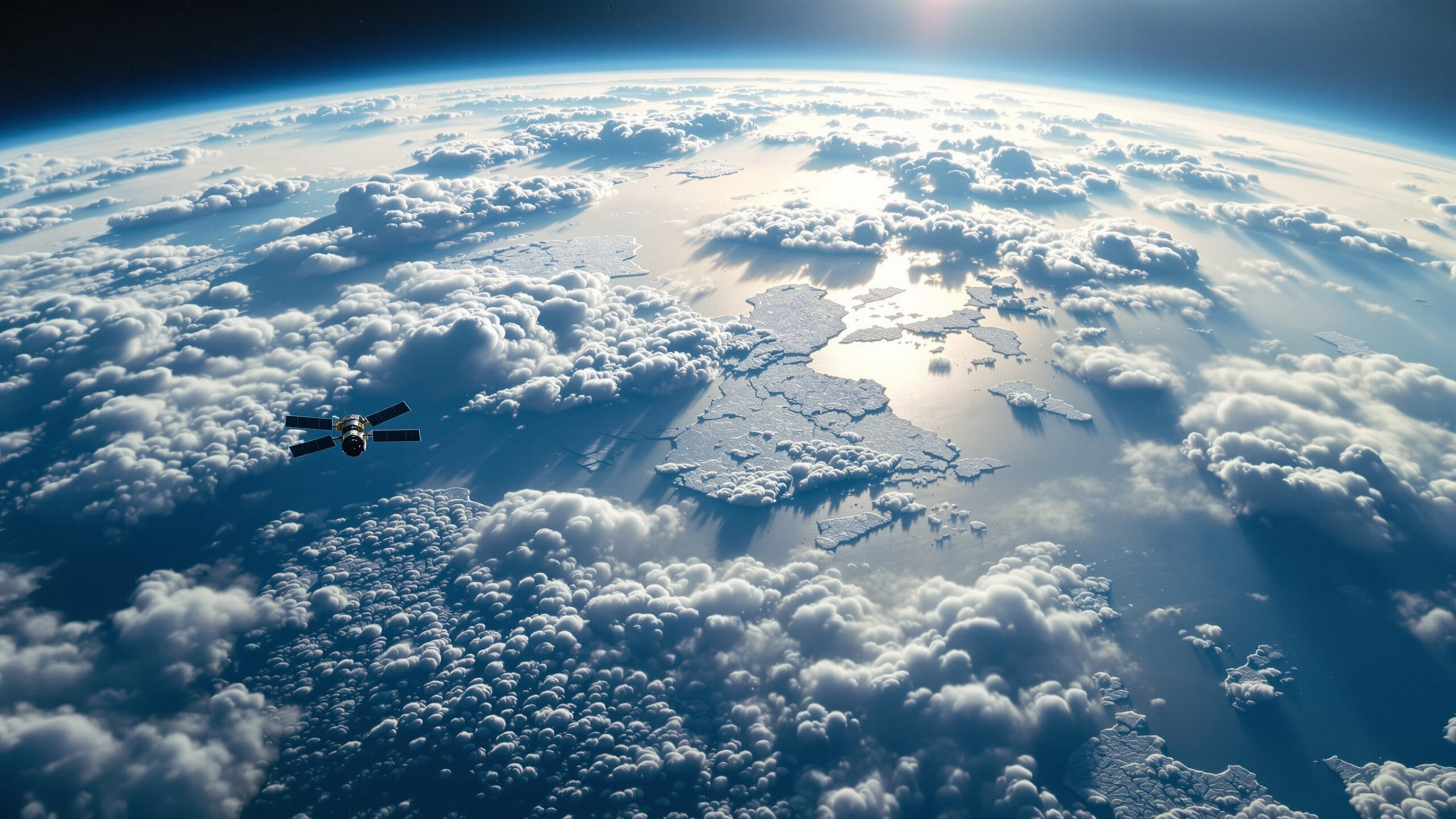
Far above Earth’s surface, fleets of satellites quietly observe the planet day and night, building the most comprehensive picture of Earth’s climate ever assembled. These orbiting instruments have transformed climate science, allowing researchers to track temperature, ice loss, sea levels, clouds, greenhouse gases, and extreme weather with global precision. Climate measurement from space provides a unique, planet-wide perspective that ground-based observations alone could never achieve. Together, satellites act as Earth’s eyes in space, revealing how the climate system is changing in real time.
A: They measure thermal infrared radiation and use physics-based algorithms to infer temperature of the surface or atmospheric layers.
A: They may observe different wavelengths, layers, times of day, or use different processing—cross-calibration helps align them.
A: Not perfectly—clouds, aerosols, and bright surfaces can interfere, so data coverage varies by region and season.
A: Radar altimeters time a pulse to the ocean surface and calculate height, then corrections remove tides and other effects.
A: By measuring surface elevation change, gravity/mass change, and ice flow speed—each method provides a different piece of the story.
A: Yes when designed and processed for climate—stability, overlap, and calibration/validation are the keys.
A: Ground and ocean instruments validate satellites and measure details satellites can’t resolve directly.
A: It’s a consistent global reconstruction that blends observations (including satellites) with models—useful for tracking patterns over time.
A: Maintaining long-term consistency across changing instruments and dealing with clouds/sampling gaps in certain measurements.
A: Satellites let us measure Earth’s vital signs everywhere—turning the whole planet into a monitored system.
Why Space-Based Climate Observation Matters
Climate change unfolds across the entire planet, including remote oceans, polar regions, deserts, and upper atmosphere layers where direct measurements are difficult or impossible. Satellites provide consistent, repeatable observations over long periods, allowing scientists to detect trends rather than isolated events. By circling the Earth continuously, they create a global reference system that ensures climate change is measured objectively and uniformly.
What Satellites Actually Measure
Satellites do not measure “climate” directly. Instead, they measure physical variables that reveal how the climate system behaves. These include surface and atmospheric temperatures, cloud cover, solar radiation, reflected sunlight, greenhouse gas concentrations, ocean height, ice thickness, land use changes, and vegetation health. Each measurement captures a different piece of the climate puzzle, and together they form a comprehensive picture of Earth’s energy balance.
Measuring Earth’s Temperature From Orbit
Temperature measurement from space relies on detecting radiation emitted by Earth. Satellites use sensitive instruments that measure infrared energy released by land, oceans, and the atmosphere. Because warmer objects emit more radiation, scientists can calculate temperature with remarkable accuracy. These measurements reveal warming trends across the globe, including regions with little or no ground-based monitoring.
Tracking Greenhouse Gases in the Atmosphere
Satellites play a critical role in monitoring greenhouse gases such as carbon dioxide and methane. By analyzing how sunlight is absorbed and reflected as it passes through the atmosphere, satellites can determine gas concentrations and track how they change over time. These observations show where emissions are increasing, how gases move through the atmosphere, and how natural systems absorb or release carbon.
Watching the Oceans Absorb Heat
The oceans store the majority of excess heat from global warming, making them central to climate monitoring. Satellites measure sea surface temperatures and ocean height, which rises as water warms and expands. Subtle changes in sea level detected from space reveal how much heat the oceans are absorbing and where warming is concentrated. This information is crucial for understanding long-term climate trends and sea-level rise.
Measuring Sea-Level Rise With Precision
Satellite altimeters send radar pulses toward the ocean surface and measure how long it takes for the signal to return. By repeating this process continuously, satellites detect changes in sea level with millimeter-scale precision. These measurements show that sea levels are rising steadily, confirming the combined effects of melting ice and thermal expansion.
Monitoring Ice Sheets and Glaciers
Satellites have revolutionized the study of ice. They track changes in ice sheet height, glacier movement, and ice mass loss in Greenland, Antarctica, and mountain regions worldwide. Laser and radar instruments measure ice thickness, while gravity-based observations detect changes in mass. Together, these tools reveal how rapidly ice is disappearing and how it contributes to global sea-level rise.
Sea Ice and Planetary Reflectivity
Sea ice plays a major role in regulating Earth’s temperature by reflecting sunlight. Satellites monitor sea ice extent, thickness, and seasonal variation. These measurements show dramatic declines in Arctic sea ice and changes in Antarctic patterns, providing clear evidence of climate-driven transformation at the poles.
Clouds, Radiation, and Earth’s Energy Balance
Clouds strongly influence climate by reflecting sunlight and trapping heat. Satellites observe cloud height, thickness, coverage, and movement across the globe. They also measure incoming solar radiation and outgoing infrared energy, allowing scientists to track Earth’s energy imbalance. These observations are essential for understanding how much heat the planet retains.
Observing Extreme Weather From Space
Satellites monitor storms, heatwaves, floods, droughts, and wildfires as they develop and evolve. They track storm intensity, rainfall rates, soil moisture, and vegetation stress. These observations improve forecasting, disaster response, and long-term analysis of how extreme events are changing in frequency and intensity.
Land Use and Vegetation Change
Climate change is closely linked to how land is used. Satellites track deforestation, urban expansion, agricultural shifts, and vegetation health. By monitoring changes in land cover and plant growth, scientists can assess how ecosystems respond to warming, drought, and human activity—and how these changes affect carbon storage.
Gravity and Earth’s Hidden Changes
Some satellites measure tiny variations in Earth’s gravitational field. These variations reveal changes in mass caused by melting ice, shifting water storage, and groundwater depletion. Gravity-based observations provide insights into processes that cannot be seen directly, offering a deeper understanding of climate-driven change.
Long-Term Climate Records From Space
Climate trends require long-term data. Satellite missions are carefully calibrated to ensure continuity across decades. Scientists cross-check new instruments with older ones to maintain consistent records. These long-term datasets allow researchers to distinguish natural variability from sustained climate change.
How Satellite Data Supports Climate Models
Climate models rely on satellite data to test and refine their accuracy. Observations from space help scientists validate simulations of temperature, circulation, and feedback processes. When models match real-world satellite measurements, confidence in future projections increases.
Limits and Challenges of Satellite Observation
While satellites provide unparalleled coverage, they are not perfect. Instruments must be calibrated precisely, and changes in technology can introduce uncertainties. Satellites also measure conditions indirectly, requiring careful interpretation. To address these challenges, satellite data is combined with ground-based measurements and ocean observations.
Why Satellites Are Essential for Climate Accountability
Satellite observations provide independent verification of climate change. They allow scientists to track emissions, monitor compliance with environmental agreements, and assess the effectiveness of mitigation efforts. Because satellites observe the entire planet, their data cannot be confined or selectively reported.
Climate Change Without Borders
Climate processes do not respect political boundaries. Satellites reveal how emissions in one region affect the entire planet, how melting ice influences distant coastlines, and how atmospheric circulation connects continents. This global perspective is essential for understanding climate as a shared challenge.
The Future of Climate Observation From Space
New satellite missions are being designed to measure climate with even greater accuracy. Advances in sensor technology will improve monitoring of greenhouse gases, clouds, ice, and oceans. These future observations will sharpen understanding of climate feedbacks and emerging risks.
Why Measuring Climate From Space Matters
Without satellites, much of modern climate science would be impossible. They provide the evidence that confirms warming trends, tracks planetary change, and informs policy decisions. Space-based observation turns abstract climate concepts into measurable reality.
Eyes on a Changing Planet
Satellites watching Earth offer humanity a clear view of a changing world. They reveal patterns invisible from the ground and document how the climate system responds to added heat. By measuring Earth from space, scientists gain the knowledge needed to understand, anticipate, and respond to one of the defining challenges of our time.