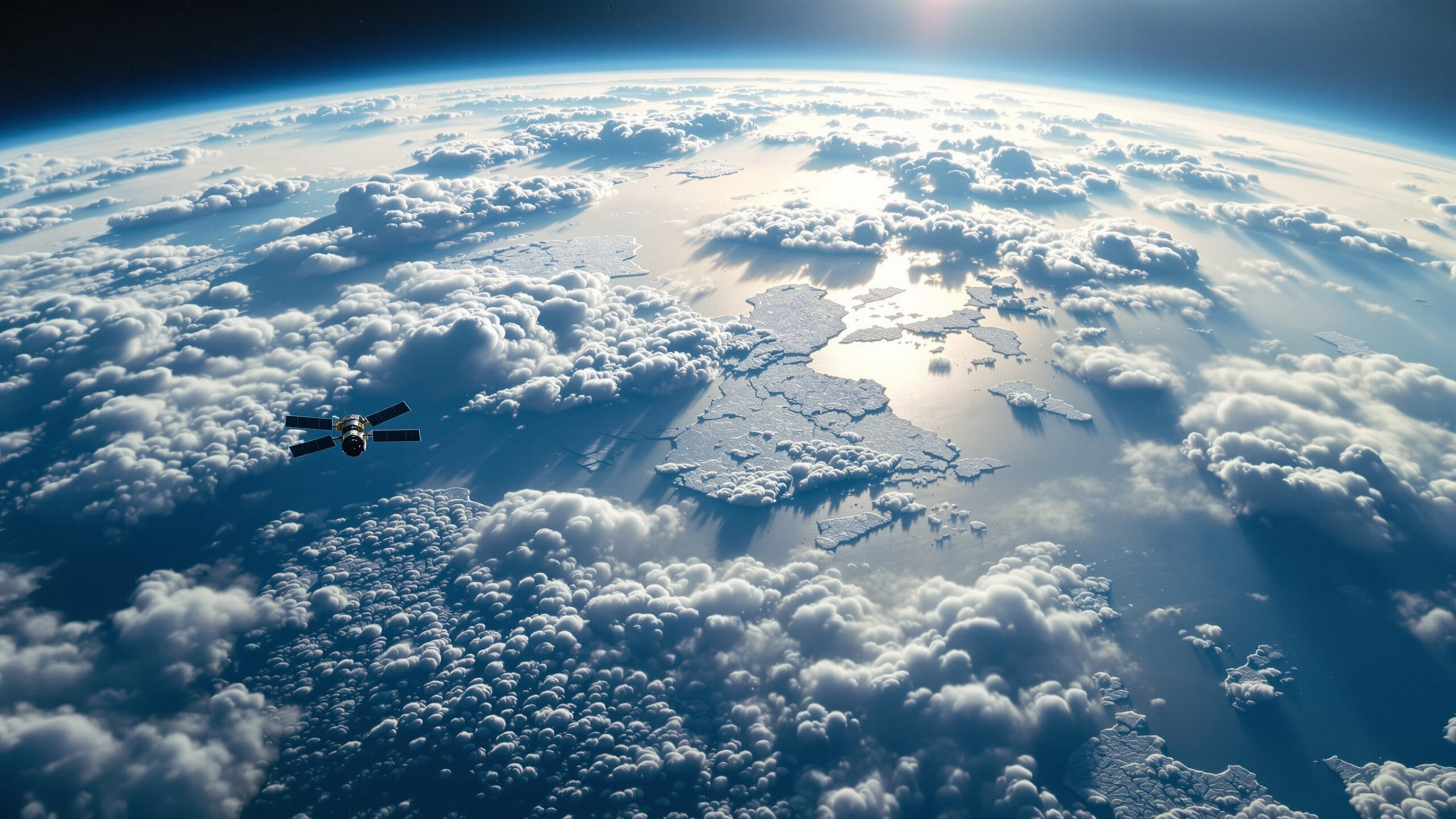
High above Earth’s surface, powerful rivers of air race around the planet, quietly shaping the weather we experience every day. These jet streams are invisible to the eye, yet they influence storms, heatwaves, cold snaps, and rainfall patterns across entire continents. By steering weather systems and controlling how air masses interact, jet streams act as the atmosphere’s traffic controllers. Understanding how they work reveals why weather can change so suddenly—and why a warming climate is altering familiar patterns.
A: It steers storm tracks and helps control where warm and cold air masses move.
A: Large-scale temperature patterns and atmospheric dynamics create Rossby waves that can deepen or flatten over time.
A: Often it means faster-moving, more organized storm tracks; but storminess also depends on moisture and instability.
A: Blocking—persistent ridges/troughs that slow or stop the jet’s usual eastward flow.
A: The polar vortex is a cold-air circulation aloft; when it’s disrupted, it can influence jet patterns below.
A: Ridges sink air, reduce clouds, and trap warmth—especially when the ridge persists.
A: These patterns encourage rising air and repeated storms, sometimes stalling and dumping rain over the same region.
A: Yes—warming can shift temperature gradients and storm tracks, though changes vary by region and season.
A: With upper-air observations, satellites, and models that map winds near the top of the troposphere.
A: The jet stream is a fast-moving river of air that guides the paths of storms and the boundaries between air masses.
What Jet Streams Are
Jet streams are narrow bands of very fast-moving air found near the top of the troposphere, typically several miles above the ground. They can reach wind speeds exceeding 150 miles per hour and stretch thousands of miles across the globe. Although multiple jet streams exist, the most influential are found in the mid-latitudes and near the poles, where they separate warm and cold air masses.
Why Jet Streams Form
Jet streams form because Earth is heated unevenly. The equator receives more solar energy than the poles, creating strong temperature contrasts between air masses. Where these contrasts are greatest, pressure differences develop, accelerating air flow. Earth’s rotation bends this movement, organizing it into fast-moving, west-to-east air currents that circle the planet.
The Role of Temperature Gradients
The strength of a jet stream depends on the temperature difference between air masses. A sharp contrast between warm and cold air creates a strong jet stream, while a weaker contrast produces slower, more meandering winds. This relationship explains why jet streams are strongest in winter, when polar regions are much colder than lower latitudes.
The Polar Jet Stream
The polar jet stream forms along the boundary between cold polar air and warmer mid-latitude air. It is the primary driver of weather variability in much of the Northern Hemisphere. Its position determines whether regions experience cold outbreaks, mild conditions, or stormy weather, making it a critical factor in day-to-day forecasting.
The Subtropical Jet Stream
The subtropical jet stream forms farther south, near the boundary between tropical and mid-latitude air. It is generally weaker but still plays an important role in transporting moisture and influencing large-scale weather patterns. The interaction between the polar and subtropical jets can enhance storms and shape seasonal climate patterns.
How Jet Streams Steer Storms
Storm systems tend to follow the path set by the jet stream. Areas beneath strong jet flow often experience active weather, while regions outside its influence may remain dry or stable. When the jet stream dips southward, it can pull cold air into lower latitudes. When it shifts northward, warm air can surge poleward, triggering heatwaves.
Jet Stream Waves and Weather Extremes
Jet streams rarely flow in straight lines. They form large waves that move around the globe. These waves allow warm air to push north and cold air to spill south. When the waves become exaggerated or slow-moving, weather patterns can become stuck, leading to prolonged heat, cold, drought, or heavy rainfall.
Blocking Patterns and Stalled Weather
Sometimes the jet stream forms blocking patterns that prevent weather systems from moving along. These blocks can cause storms to linger over the same area or trap high-pressure systems in place. Stalled patterns are often responsible for long-lasting heatwaves, extended flooding events, or persistent droughts.
Jet Streams and Seasonal Shifts
Jet streams migrate with the seasons. In winter, they generally shift south and strengthen. In summer, they weaken and move north. These seasonal shifts influence storm tracks, precipitation zones, and temperature patterns, shaping regional climates year after year.
The Jet Stream and Extreme Cold
Cold snaps often occur when the polar jet stream dips sharply southward, allowing Arctic air to move into lower latitudes. These events can bring severe winter weather to regions unaccustomed to extreme cold. Such outbreaks are part of natural variability but can become more disruptive when jet stream behavior changes.
Heatwaves and the Jet Stream
Heatwaves are frequently associated with jet stream ridges, where high-pressure systems dominate. These ridges block cooler air and allow heat to build near the surface. When ridges persist, temperatures can rise to dangerous levels and remain elevated for extended periods.
Jet Streams and Heavy Rainfall
Jet streams influence where and how much rain falls by steering moisture-rich air and storm systems. When jet stream patterns slow or stall, heavy rain can concentrate over a region, increasing flood risk. Many recent extreme rainfall events have been linked to sluggish jet stream behavior.
The Arctic Connection
The Arctic plays a key role in jet stream dynamics. The jet stream is driven by the temperature contrast between the Arctic and lower latitudes. As the Arctic warms faster than the rest of the planet, this contrast weakens, potentially altering jet stream strength and shape.
Jet Stream Changes in a Warming Climate
A warming climate is influencing jet stream behavior by reducing temperature differences and increasing atmospheric energy. Some research suggests this may lead to a weaker, more meandering jet stream that produces more persistent weather patterns. These changes help explain why extreme events are becoming longer-lasting and more intense.
Why Jet Stream Changes Matter
Even subtle changes in jet stream behavior can have major consequences. Shifts in storm tracks affect water availability, agriculture, and ecosystems. Prolonged extremes strain infrastructure, health systems, and economies. Understanding jet stream dynamics is essential for anticipating future climate risks.
Predictability and Forecasting
Jet streams are central to weather forecasting. Their position and strength determine how storms develop and where they travel. Advances in satellite observation and modeling have improved forecasts, but increased variability in jet stream behavior adds complexity to prediction efforts.
Lessons from Climate History
Past climate shifts show that changes in atmospheric circulation can lead to abrupt and widespread climate impacts. Historical records reveal that jet stream reorganization has accompanied major transitions, highlighting its sensitivity to broader climate conditions.
Living Under Invisible Forces
Although unseen, jet streams shape everyday weather in powerful ways. They decide whether a storm reaches your region, how long heat lingers, or when cold air arrives. Recognizing their influence helps explain why weather can feel increasingly unpredictable.
Why Jet Streams Deserve Attention
Jet streams connect the atmosphere into a global system, linking distant regions through shared air currents. Their behavior reflects the balance of energy across the planet. As that balance shifts, jet streams respond, carrying the signal of climate change through the skies.
The Steering Wheels of the Atmosphere
Jet streams are the steering wheels of Earth’s weather system. By guiding storms and shaping temperature patterns, they control how energy moves through the atmosphere. Understanding these invisible forces is essential for grasping both daily weather and the long-term changes reshaping our climate.