
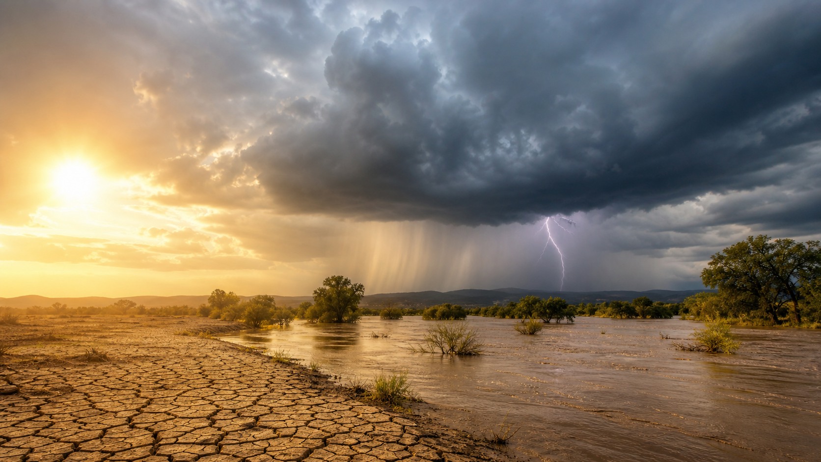
Extreme Weather Starts With Ordinary Ingredients Pushed Out of Balance
Extreme weather can feel sudden, chaotic, and almost personal when it arrives as a heat dome, flash flood, wildfire windstorm, hurricane, blizzard, drought, or outbreak of severe thunderstorms. But most extremes begin with familiar ingredients: heat, moisture, moving air, ocean temperatures, terrain, soils, vegetation, and the built environment. What turns weather from inconvenient to dangerous is the way these ingredients line up in time and space. A warmer atmosphere can hold more water vapor. A stalled pressure pattern can lock heat or rain over one place. Warm oceans can feed stronger storms. Dry vegetation can turn wind into a fire hazard. Cities can intensify heat and flooding. Climate change is not the only cause of extreme weather, but it is increasingly changing the background conditions in which weather forms, making some events more likely, more intense, longer lasting, or more damaging.
A: No. Weather has always produced extremes, but climate change can alter the odds, intensity, duration, and impacts of many events.
A: Cold air still forms and moves. Global warming raises average temperatures, but circulation patterns can still deliver short-lived regional cold outbreaks.
A: A storm becomes a disaster when the physical hazard intersects with exposed people, buildings, infrastructure, ecosystems, or weak preparedness.
A: Flash floods occur when intense rain falls faster than land, drains, streams, or rivers can absorb or move the water away.
A: Yes. Pavement, drainage, deforestation, irrigation, wildfire suppression, and development in risky areas can all change local hazard and exposure.
A: Warm nights prevent people, buildings, and infrastructure from cooling down, increasing stress on health, energy systems, and vulnerable residents.
A: It is an event where hazards combine, such as heat plus drought, wildfire plus wind, storm surge plus rainfall, or back-to-back storms.
A: Yes. Ocean temperatures help steer moisture, storm tracks, seasonal patterns, and large climate cycles that influence weather far from the coast.
A: Risk depends on housing, health, wealth, infrastructure, warning access, insurance, emergency services, and the ability to recover.
A: Think of ingredients, triggers, and vulnerability: the atmosphere supplies energy and moisture, patterns organize it, and human systems determine damage.
The Basic Recipe Behind Weather Extremes
Weather becomes extreme when ordinary atmospheric processes move outside the range people, ecosystems, and infrastructure are prepared to handle. A thunderstorm is common; a thunderstorm that drops several inches of rain on steep terrain or paved streets in an hour can be life-threatening. A hot afternoon is familiar; a week of high humidity, hot nights, and power strain can become a public health emergency. The same physical event can be manageable in one place and disastrous in another because risk depends on exposure and readiness as much as meteorology.
Most extremes need three broad pieces: energy, moisture, and organization. Energy often comes from heat stored in land, air, or ocean water. Moisture provides the water vapor that can become rain, snow, humidity, or cloud fuel. Organization comes from pressure systems, fronts, jet streams, wind shear, sea breezes, mountains, or storm-scale rotation. When these pieces reinforce each other, the atmosphere can produce events that are unusually intense, unusually long, or unusually widespread.
Timing matters. A heavy rainstorm after months of drought may run off hard ground instead of soaking in. The same rain after a wet week may fall onto saturated soils and overflowing rivers. A windstorm during cool, damp weather may break branches; the same wind after a hot, dry season may drive fast-moving fire. Extreme weather is often less about one ingredient acting alone and more about several ingredients arriving together.
Heat Is The Engine
Heat is one of the atmosphere's main sources of energy. When sunlight warms the ground, the ground warms the air above it. Warm air can rise, expand, and help form clouds and storms if enough moisture and lift are present. In other cases, sinking air beneath high pressure suppresses clouds, increases sunshine, and traps heat near the surface. That is why persistent high-pressure ridges are often associated with major heat waves.
Heat also affects water. It increases evaporation from soils, vegetation, rivers, lakes, and oceans. If the ground is moist, some solar energy goes into evaporating water, which can limit daytime temperatures. If soils dry out, more energy goes directly into heating the surface and lower atmosphere. This feedback can make droughts and heat waves reinforce each other, especially when a stalled weather pattern keeps cooler, wetter air away.
Moisture Turns Energy Into Rain, Snow, Humidity, And Storm Fuel
Moisture is the atmosphere's raw material for precipitation. Air that contains more water vapor can produce heavier rain or snow when it is lifted and cooled. Lift can come from a cold front, a warm front, a mountain range, a low-pressure system, daytime heating, or air converging near the ground. Without lift, humid air may simply feel oppressive. With lift and instability, it can become heavy rain, hail, lightning, or organized thunderstorms.
A warmer atmosphere can hold more water vapor, which raises the potential for intense precipitation. This does not mean every place becomes wetter all the time. Circulation patterns still decide where moisture travels and where storms form. Some regions may see heavier downpours separated by longer dry spells. Others may experience stronger atmospheric rivers, wetter tropical cyclones, or more intense rain falling in shorter bursts.
Humidity also shapes heat risk. Human bodies cool themselves mainly by sweating, and sweat cools best when it can evaporate. When the air is very humid, evaporation slows, making the same temperature feel more dangerous. This is why heat waves with warm nights and high humidity can be especially deadly, even when daytime temperatures are not record-breaking by local standards.
Moisture can also worsen winter hazards. If cold air is in place, a moisture-rich storm can produce heavy snow. If warm air rides over shallow cold air near the ground, freezing rain can coat roads, trees, and power lines. If rain falls on existing snowpack, runoff can increase quickly. The temperature profile of the atmosphere determines whether moisture becomes rain, snow, sleet, or ice.
Atmospheric Circulation Decides Where Extremes Form
The atmosphere is always trying to redistribute heat between the tropics and the poles. It does this through winds, storms, jet streams, pressure systems, and large waves in the upper atmosphere. These circulation patterns steer weather systems, decide where air rises or sinks, and determine whether a region gets a quick-moving storm or a week of stuck weather.
Blocking patterns are especially important for extremes. When a high-pressure ridge or atmospheric wave becomes slow-moving, it can hold the same conditions in place. Under a ridge, heat can build day after day. Near the edge of a block, storms may repeatedly track over the same area, causing flooding. Downstream, unusual cold or unsettled weather can persist because the usual west-to-east flow is disrupted.
Natural climate patterns also matter. El Nino and La Nina shift tropical Pacific ocean temperatures, which can influence rainfall, drought, hurricane activity, and winter storm tracks in many regions. Other ocean-atmosphere patterns in the Atlantic, Indian Ocean, Arctic, and midlatitudes can tilt seasonal odds. These patterns do not dictate every storm, but they help set the background for what kinds of extremes are more likely.
Oceans Supply Heat, Moisture, And Long Memory
Oceans cover most of the planet and store enormous amounts of heat. Because water warms and cools more slowly than land, oceans give the climate system memory. Warm sea surface temperatures can add moisture to the air and provide energy for storms. Tropical cyclones, for example, need warm ocean water, moist air, low pressure, and favorable winds to organize and intensify.
Oceans also shape coastal hazards. Storm surge occurs when winds and low pressure push seawater toward land. Sea level rise raises the starting point for that surge, making coastal flooding easier during storms, king tides, and strong onshore winds. When heavy rain falls at the same time as surge, water can have nowhere to drain, turning a coastal storm into a compound flood.
Terrain And Land Use Shape Local Impacts
Mountains, valleys, coastlines, soils, vegetation, and cities can all amplify or redirect extreme weather. When moist air is forced up a mountain slope, it cools and can drop heavy rain or snow on the windward side. As air descends on the other side, it can warm and dry, creating rain shadows. Valleys can concentrate floodwater, channel wind, or trap cold air, smoke, and pollution.
Cities create their own risk patterns. Pavement, roofs, and dark surfaces absorb and store heat, producing urban heat islands that keep neighborhoods warmer, especially at night. Buildings can reduce airflow. Limited tree cover can remove shade and cooling. During heavy rain, impervious surfaces prevent water from soaking into the ground, sending runoff into streets, basements, drains, and streams faster than natural landscapes often would.
Land management influences fire, flood, and drought risk. Forest structure, invasive grasses, drainage systems, wetland loss, soil compaction, and development in floodplains or fire-prone areas all affect outcomes. A weather event may provide the spark or rainfall, but the landscape determines how quickly water moves, how intensely vegetation burns, and how many people and assets are in the path.
Agriculture can also influence local conditions. Irrigation may cool the surface while adding humidity. Bare soil can heat quickly and erode during intense rain or wind. Healthy soils and vegetation can slow runoff, store carbon, and moderate local temperature. These effects are usually smaller than large-scale weather patterns, but they matter where people live and where impacts occur.
Climate Change Changes The Background Conditions
Climate change does not replace natural weather variability; it changes the environment in which variability plays out. Greenhouse gases trap more heat, warming the atmosphere, oceans, and land surface. That added heat shifts baselines. A heat wave that once would have been rare can become more common. A rainstorm can draw on more moisture. A coastal flood can begin from a higher sea level.
The clearest links are for heat extremes and heavy precipitation. Heat waves are becoming hotter and more frequent in many regions. Extreme rainfall is increasing in many places because warmer air can hold more water vapor, allowing storms to release more water when conditions are right. Drought links are more regional because precipitation, evaporation, snowpack, soil, vegetation, and water use all interact.
For some hazards, the climate signal is more complex. Tropical cyclones are not simply becoming more numerous everywhere, but warmer oceans and moister air can increase rainfall rates and raise the potential for rapid intensification when other conditions align. Tornadoes, hail, and severe thunderstorms depend on smaller-scale ingredients such as instability and wind shear, making long-term trends harder to separate from observation changes and natural variability.
Attribution studies help clarify these links by comparing the observed event with simulations of a cooler world without the same human-caused warming. They usually speak in terms of changed likelihood or intensity, which is more useful than asking whether one event had a single cause.
This is why climate communication often separates confidence by hazard type. The heat signal is broad and strong, rainfall intensity is increasingly clear in many regions, and smaller-scale severe storm trends require more local evidence.
Exposure, Vulnerability, And Compound Events Decide The Damage
A hazard is the physical event; a disaster is what happens when that event collides with people and systems that can be harmed. More homes in floodplains, more roads in fire-prone landscapes, aging drainage, limited cooling access, fragile power grids, and unequal health resources can all turn weather into a larger emergency. Two places can experience the same rainfall total or temperature and suffer very different outcomes.
Compound events are especially dangerous because they strain systems from multiple directions. Heat and drought can dry vegetation before a wind event spreads fire. A hurricane can bring storm surge, river flooding, power outages, and extreme heat after the clouds clear. Back-to-back storms can arrive before communities recover. Smoke can worsen health during heat waves. These overlaps are often where modern risk becomes hardest to manage.
Understanding extreme weather means looking beyond the sky. The causes include physics, geography, oceans, land use, climate change, and human choices about where and how we build. That broader view is useful because it points toward action. Better forecasts, stronger infrastructure, restored wetlands, cooler streets, fire-wise land management, emergency planning, emissions cuts, and targeted support for vulnerable communities can all reduce the harm when extreme weather arrives.
That is the practical value of a complete guide: it turns a frightening headline into a set of ingredients that can be watched, forecast, planned for, and, in some cases, reduced.


