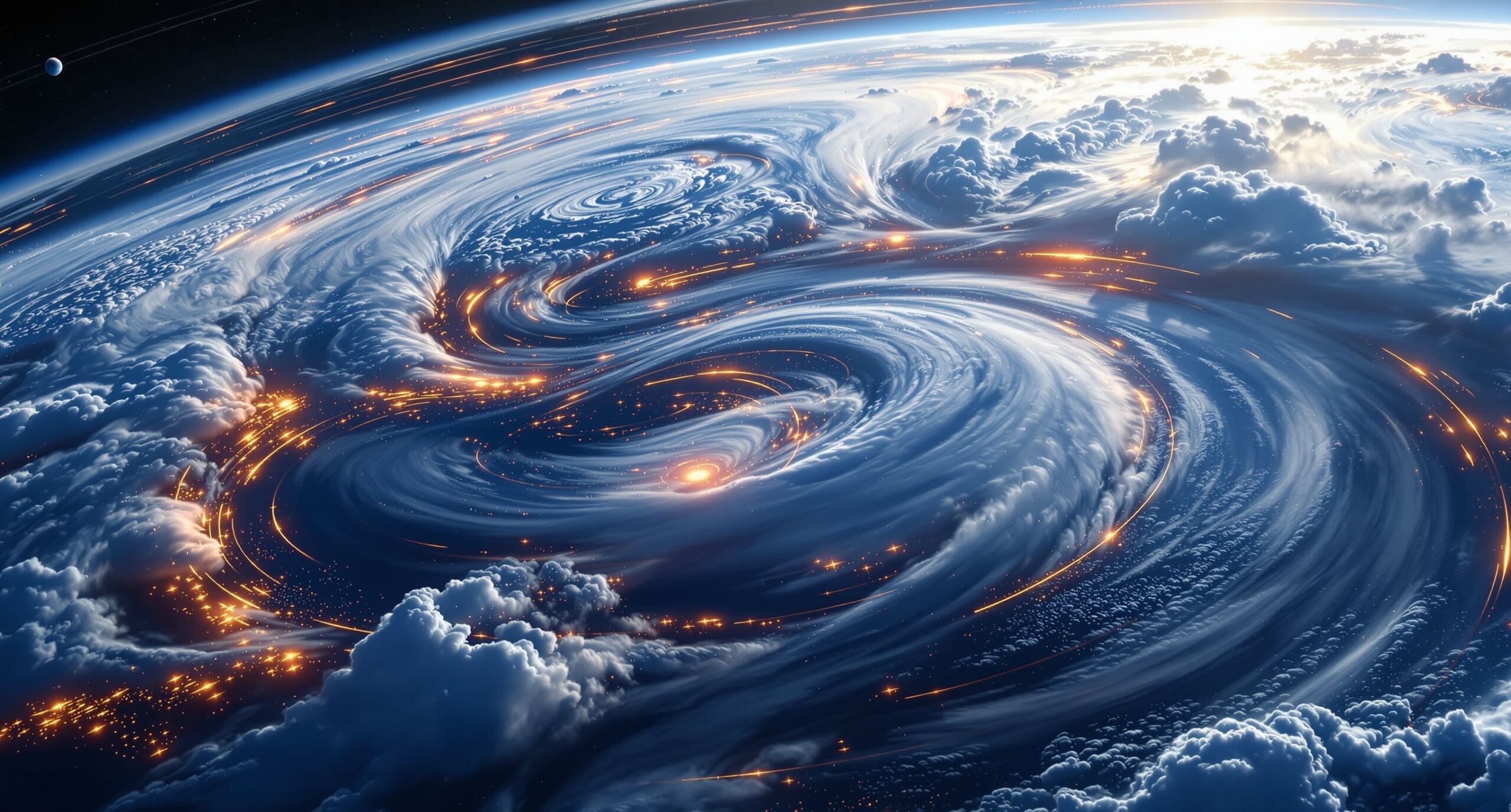
Jet streams are among the most powerful and influential forces in Earth’s atmosphere. Invisible to most people yet constantly shaping weather across the planet, these fast-moving rivers of air control storm paths, temperature changes, rainfall patterns, and even some of the most dangerous weather extremes on Earth. Stretching thousands of miles across the globe and flowing high above the surface, jet streams act like atmospheric highways that guide weather systems through the atmosphere. Their movements influence everything from heatwaves and blizzards to hurricanes, droughts, floods, and severe thunderstorms. Although jet streams exist high in the upper atmosphere, their effects are felt every day at ground level. A sudden dip in the jet stream can send freezing Arctic air deep into lower latitudes, while a northward shift can bring unusual warmth to regions that would normally experience cold weather. These shifts can intensify storms, stall weather systems over certain regions, or trigger dramatic temperature swings within short periods of time. Scientists study jet streams closely because understanding their behavior is essential for forecasting weather and understanding Earth’s changing climate. Jet streams are not random winds moving aimlessly through the atmosphere. They are created by powerful interactions between solar heating, Earth’s rotation, atmospheric pressure differences, and temperature contrasts between major air masses. Their behavior is deeply connected to the broader climate system, and as climate change alters global temperatures, scientists are investigating how jet streams themselves may also be changing. Understanding the science behind jet streams helps explain why weather extremes occur and why Earth’s atmosphere behaves in such dynamic and sometimes unpredictable ways.
A: A jet stream is a fast, narrow current of wind high in the atmosphere.
A: Strong temperature and pressure differences, combined with Earth’s rotation, create jet streams.
A: They steer storms and can help storms strengthen when upper-level winds provide lift.
A: A trough is a dip in the jet stream often linked to colder air and stormier weather.
A: A ridge is a bulge in the jet stream often linked to warmer, drier, high-pressure weather.
A: They can help create heat waves when ridges and blocking patterns trap hot air.
A: Yes, deep southward dips can allow polar air to spill into lower latitudes.
A: Blocking patterns can slow the jet stream and keep the same weather locked in place.
A: Research suggests warming may influence jet stream patterns, but the effects are complex.
A: They shape storm tracks, temperatures, rainfall, aviation, droughts, floods, and many weather extremes.
What Exactly Are Jet Streams?
Jet streams are narrow bands of extremely strong winds that flow through the upper levels of Earth’s atmosphere. They are typically found in the troposphere, the lowest atmospheric layer where most weather occurs, at altitudes between about 20,000 and 40,000 feet above the surface. Unlike ordinary surface winds, jet streams can reach astonishing speeds exceeding 200 miles per hour.
These powerful wind currents are relatively narrow compared to their immense length. Some jet streams stretch across entire oceans and continents while remaining only a few hundred miles wide. Their winding shapes resemble giant atmospheric rivers flowing through the sky. Rather than moving in perfectly straight lines, jet streams often bend and curve dramatically as they travel around the planet.
Jet streams are strongest during winter because temperature differences between cold polar air and warmer tropical air become greater during colder months. These stronger temperature contrasts increase atmospheric pressure gradients, which intensify upper-level winds. During summer, weaker temperature differences usually produce weaker and less intense jet streams.
Although multiple jet streams exist around the world, the two most important are the polar jet stream and the subtropical jet stream. Both play major roles in shaping global weather patterns and atmospheric circulation.
The Polar Jet Stream
The polar jet stream forms along the boundary between cold polar air and warmer air from mid-latitude regions. This sharp temperature contrast creates strong pressure differences high in the atmosphere, generating powerful winds that flow from west to east.
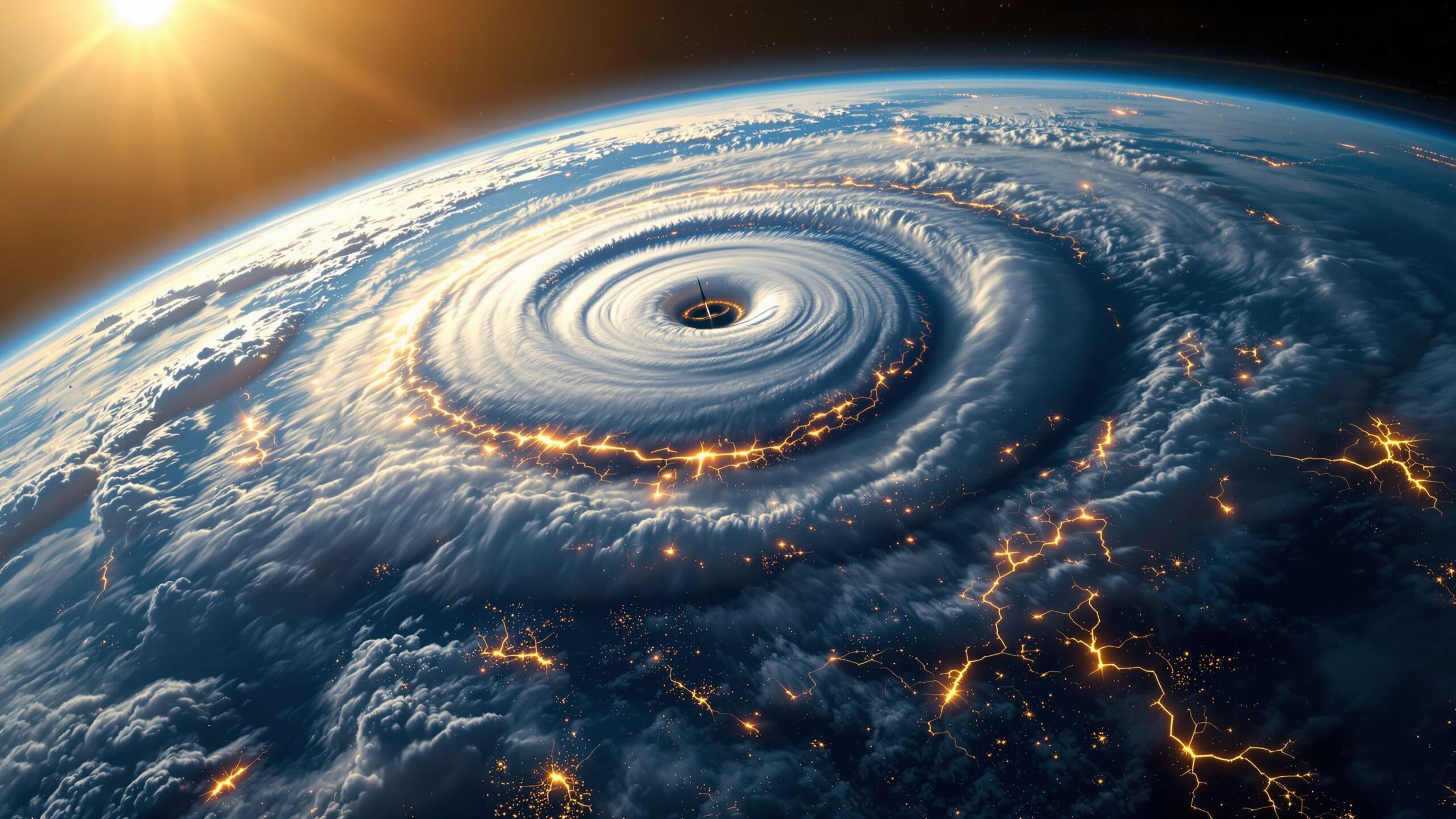
The polar jet stream is highly dynamic and constantly shifting. Sometimes it flows relatively straight across the globe, while at other times it develops large waves and dips. These bends are known as Rossby waves and are incredibly important for weather formation. When the jet stream dips southward, it can pull frigid Arctic air into lower latitudes and trigger major winter storms or cold outbreaks. When it curves northward, warmer air spreads farther toward the poles, creating unusually warm conditions.
Much of the rapidly changing weather experienced across North America and Europe is connected to the movement of the polar jet stream. Storm systems often form and strengthen along the jet stream because strong upper-level winds help create instability and rising air in the atmosphere. Meteorologists closely monitor the position of the polar jet stream because even small shifts can dramatically change weather forecasts.
The polar jet stream also acts as a barrier between warm and cold air masses. When this boundary weakens or becomes unstable, weather systems can grow more chaotic and persistent, sometimes leading to prolonged periods of extreme weather.
The Subtropical Jet Stream
The subtropical jet stream forms farther south near the boundary between tropical and subtropical air masses. While it is generally weaker than the polar jet stream, it still plays an important role in global weather and climate.
The subtropical jet stream develops because of strong upper-atmosphere circulation associated with the Hadley Cell, one of Earth’s major atmospheric circulation systems. As warm air rises near the equator and moves poleward high in the atmosphere, it accelerates and forms powerful upper-level winds.
This jet stream influences weather patterns across subtropical and temperate regions. It can help transport moisture, guide storm systems, and contribute to the development of severe weather events. During certain seasons, interactions between the subtropical and polar jet streams can create especially intense storm systems capable of producing heavy snow, flooding rain, or severe thunderstorms.
The subtropical jet stream is also important for aviation. Commercial aircraft often use these strong upper-level winds to reduce travel times and fuel consumption when flying eastward across long distances.
How Earth’s Rotation Shapes Jet Streams
Earth’s rotation plays a critical role in creating jet streams through the Coriolis effect. As air moves across the rotating planet, its path curves relative to Earth’s surface. In the Northern Hemisphere, moving air bends to the right, while in the Southern Hemisphere it bends to the left.
This deflection prevents air from simply flowing directly north and south between warm and cold regions. Instead, upper-level winds organize into powerful west-to-east currents that circle the planet. The stronger the temperature difference between air masses, the stronger the resulting pressure gradient and the faster the jet stream becomes.
Without Earth’s rotation, jet streams as we know them would not exist. Atmospheric circulation would follow much simpler patterns, and many modern weather systems would behave completely differently. The combination of uneven solar heating and planetary rotation creates the dynamic atmospheric structure responsible for jet streams and large-scale weather movement.
Rossby Waves and Atmospheric Wobbles
Jet streams rarely flow in straight paths for long periods. Instead, they often develop enormous wave-like patterns called Rossby waves. These waves form naturally because of Earth’s rotation and differences in atmospheric heating between regions.
Rossby waves are extremely important because they help transport warm and cold air across latitudes. Large northward bends in the jet stream allow warm tropical air to move toward higher latitudes, while southward dips pull cold polar air into lower regions.
Sometimes Rossby waves become highly amplified and slow-moving. When this happens, weather systems can stall over regions for extended periods of time. A stalled jet stream pattern can trap heatwaves, droughts, floods, or cold outbreaks in place for days or even weeks.
Many of the world’s most damaging weather extremes are connected to unusually persistent Rossby wave patterns. Prolonged heatwaves in Europe, severe winter freezes in North America, and extended flooding events have all been linked to large-scale jet stream disturbances.
Jet Streams and Storm Formation
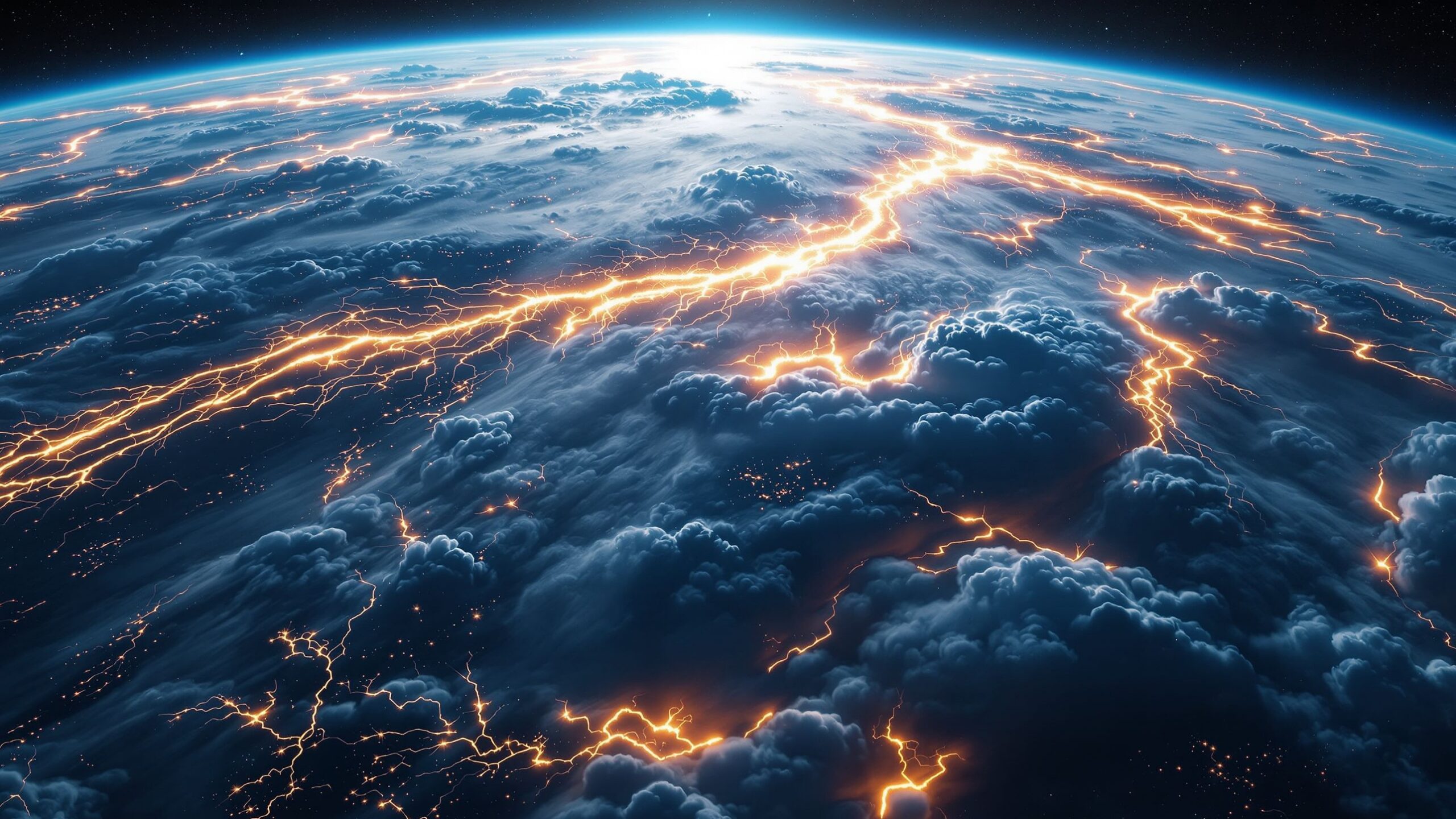
Jet streams are deeply connected to storm development because they influence atmospheric pressure and vertical air movement. Areas near the jet stream often experience rising air, which encourages cloud formation and storm intensification.
When strong upper-level winds remove air from the top of a developing storm system, surface pressure drops and the storm strengthens. This process helps fuel powerful mid-latitude cyclones, severe thunderstorms, and winter blizzards.
Jet streaks, which are especially fast-moving sections within the jet stream, can intensify storms even further. Meteorologists analyze these regions carefully because they often indicate where severe weather is most likely to develop.
Thunderstorm outbreaks, tornado systems, and large winter storms frequently occur in regions where jet stream dynamics create strong atmospheric instability. The interaction between warm moist air near the surface and powerful upper-level winds can produce explosive weather development.
Heatwaves, Cold Outbreaks, and Extreme Weather
One of the most important ways jet streams influence weather is through their control of temperature patterns. A stable and relatively straight jet stream tends to keep weather moving steadily from west to east. However, when the jet stream becomes highly wavy or distorted, extreme weather conditions become more likely.
A northward bulge in the jet stream can trap hot air over a region, creating dangerous heatwaves. These events may persist for long periods if the jet stream becomes blocked and stops moving efficiently. Some of the deadliest heatwaves in recorded history have been connected to stalled jet stream patterns.
Southward dips in the jet stream allow Arctic air to surge into lower latitudes, sometimes causing severe winter storms and dangerously cold temperatures. These cold outbreaks can affect millions of people and disrupt transportation, agriculture, and infrastructure.
Flooding events can also become more severe when the jet stream traps moisture-rich storm systems over one area for extended periods. Likewise, droughts may intensify when high-pressure systems become locked in place beneath persistent jet stream ridges.
Jet Streams and Climate Change
Climate scientists are actively studying how climate change may influence jet stream behavior. One of the biggest concerns involves Arctic amplification, the rapid warming occurring in polar regions. The Arctic is warming much faster than many other parts of the planet, reducing temperature differences between the poles and mid-latitudes.
Because jet streams depend heavily on these temperature contrasts, some researchers believe a warming Arctic could weaken and destabilize the polar jet stream. A weaker jet stream may develop larger waves and move more slowly, increasing the likelihood of prolonged weather extremes.
Although scientists continue debating the full extent of these changes, there is growing evidence that climate change may be influencing atmospheric circulation patterns. Slower-moving weather systems could contribute to longer-lasting heatwaves, flooding events, droughts, and cold outbreaks.
Warmer air also holds more moisture, increasing the potential intensity of rainfall events when storms develop. Combined with shifting jet stream behavior, these changes could reshape weather patterns across many parts of the world during the coming decades.
Jet Streams and Aviation
Jet streams have major impacts on aviation because strong upper-level winds can either help or hinder aircraft travel. Flights traveling eastward often take advantage of tailwinds within jet streams to reduce travel times and fuel consumption. Westbound flights, however, may encounter strong headwinds that slow travel.
Pilots and airlines carefully monitor jet stream positions when planning routes. Turbulence is also common near jet streams because sharp wind speed differences create atmospheric instability. Clear-air turbulence, which can occur without visible clouds, is often associated with jet stream regions.
Understanding jet stream behavior is therefore critical not only for weather forecasting but also for global transportation and airline safety.
The Atmospheric Rivers of the Sky
Jet streams are among the most powerful atmospheric features shaping life on Earth. These invisible rivers of air guide storms, transport heat, influence climate zones, and help create some of the planet’s most extreme weather events. From blizzards and hurricanes to droughts and heatwaves, jet streams play a central role in controlling the movement and intensity of weather systems across the globe.
Their existence depends on a delicate balance between solar heating, atmospheric pressure differences, and Earth’s rotation. Even slight changes in these factors can dramatically alter jet stream behavior and reshape weather patterns over entire continents.
As climate change continues influencing global temperatures and atmospheric circulation, understanding jet streams has become more important than ever. Scientists continue studying how these high-altitude winds may evolve in the future and what those changes could mean for weather extremes, ecosystems, agriculture, and human societies.
Although invisible from the ground, jet streams are constantly shaping the world above us. They are the atmospheric rivers that steer storms, connect climates, and remind us that Earth’s weather system is part of a vast and constantly moving planetary engine.